U.S. Coast Pilot
What is the U.S. Coast Pilot®?
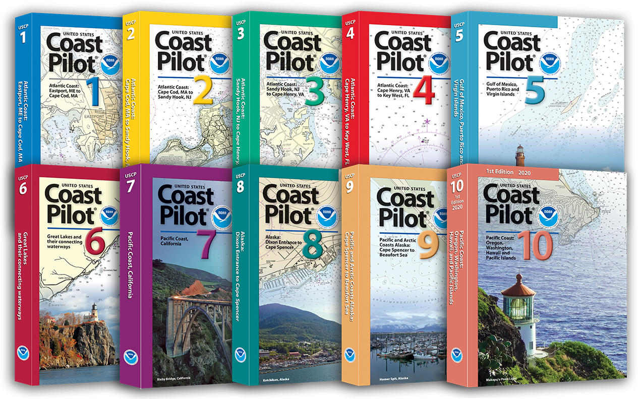
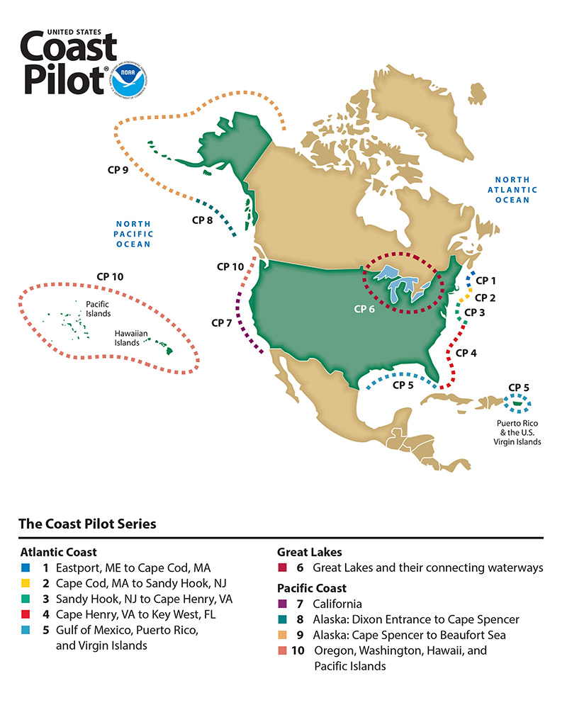
The United States Coast Pilot® consists of a series of nautical books that cover a variety of information important to navigators of coastal and intracoastal waters and the Great Lakes. Issued in nine volumes, they contain supplemental information that is difficult to portray on a nautical chart. As for aids to navigation, charts are limited in what can be shown by symbols and abbreviations regarding channels, hazards, winds and currents, restricted areas, port facilities, pilotage service, and many other types of information needed by a navigator for safe and efficient navigation. These deficiencies are remedied by the Coast Pilots published by National Ocean Service (NOS). U.S. Coast Pilots are published in nine volumes to cover the waters of the U.S. and it's possessions. They are of great value to a navigator when used with charts of an area both during the planning stage of a voyage and in the actual transit of the area. Coast Pilots books are printed on demand by Paradise Cay Publications, Inc. we always use the most up-to-date information as presented by NOAA at the time of printing.
U.S. Coast Pilot Topics
Topics in the Coast Pilot include channel descriptions, anchorages, bridge and cable clearances, currents, tide and water levels, prominent features, pilotage, towage, weather, ice conditions, wharf descriptions, dangers, routes, traffic separation schemes, small-craft facilities, and Federal regulations applicable to navigation.
Coast Pilot books are Print-On-Demand. The editions are released throughout the calendar year. Paradise Cay always provides the most recent edition when you order. See the list below for release dates.