The wholesale discount on this item may display incorrectly when you order.
- We will correct this when processing you order.
- The correct discount is 45% off the retail price.
- Please contact our office with any questions.
- Always printed when you order using the most recent data provided by the National Geospatial-Intelligence Agency (NGA)
- Printed by NOAA certified chart agent Paradise Cay Publications
- Excellent Quality
- Charts ship rolled in a cardboard tube
The chart you are viewing is printed when you order by Paradise Cay Publications using the most recent data provided by the National Geospatial-Intelligence Agency (NGA). This NGA data may no longer be current and you should consult the "Corrected through NM ##/##" note in the margin of the chart for additional information and apply all Notice To Mariners corrections that have been issued subsequently.
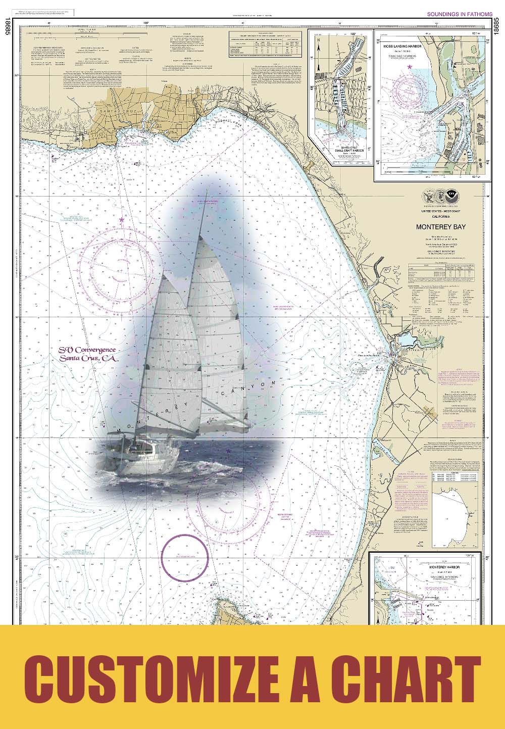
The Navigational Chart is one of the most fundamental tools available to the mariner. A Nautical Chart is a graphic portrayal of the marine environment showing the nature and form of the coast, the general configuration of the sea bottom including water depths, locations of dangers to navigation, locations and characteristics of man-made aids to navigation and other features useful to the mariner. The Nautical Chart is essential for safe navigation. In conjunction with supplemental navigational aids, it is used by the mariner to lay out courses and navigate ships by the shortest and most economically safe route. The importance of Nautical charts is evident with over 98% of the nation's cargo carried by waterborne transportation.
Specifications
Related products


![NGA Chart 63000: Karachi to Bombay [India]](https://www.paracay.com/images/thumbnails/170/170/detailed/23/63000.jpg "NGA Chart 63000: Karachi to Bombay [India]")