



-
Shipping Details
 U.S. Domestic
Flat Rate Shipping
$3.50 per order (Standard)
$10.50 per order (Expedited)
 International Shipping
You pay actual shipping cost.
No additional fees.
If the cost is higher than the estimate shown at checkout we will email you for approval before we charge your card.
 Wholesale Customers
You pay actual shipping cost.
No additional fees. Actual cost is determined when your order is packed for shipment. -
Prefer to order by phone?
Order this product online or by phone
Call us now at (707) 822-9063
Mon-Friday 8am to 5pm PST

Description
Decorative Wall Hanging FAA Chart. Stitched FAA charts are not for use for navigation and are not updated with new FAA editions.
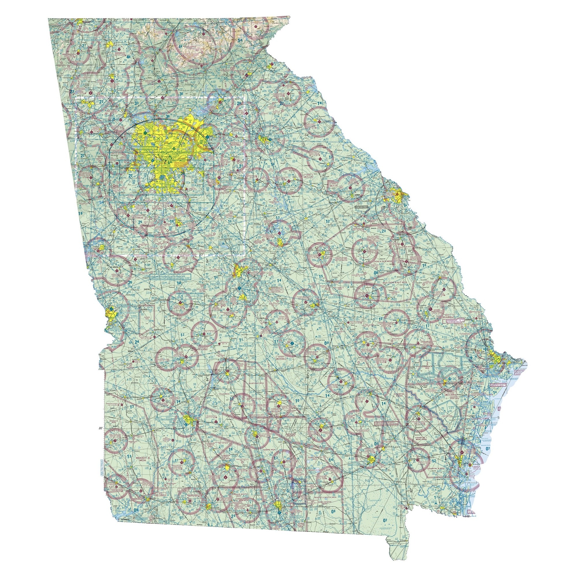
Georgia FAA Sectional Chart Wall Map
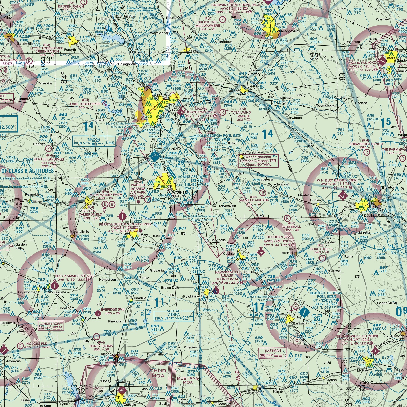
This is Georgia the way pilots see it: the 3 FAA VFR sectional charts that cover Georgia (Atlanta, Charlotte, and Jacksonville), stitched into one seamless map and trimmed to the outline of the state. The whole state is here from the Blue Ridge Mountains to the Golden Isles, with every airport, airspace ring, VOR, highway, town, river and shaded ridge in the colors pilots know. Look for Atlanta, Savannah, and Augusta and airports such as Atlanta (ATL), Savannah (SAV), Augusta (AGS). Hartsfield-Jackson Atlanta is one of the busiest airports in the world.
Hang it in a living room, office, hangar, flight school or pilot lounge. It makes a memorable gift for a new private pilot, a student pilot, a flight instructor, a retiring airline pilot or anyone who loves maps.
Details
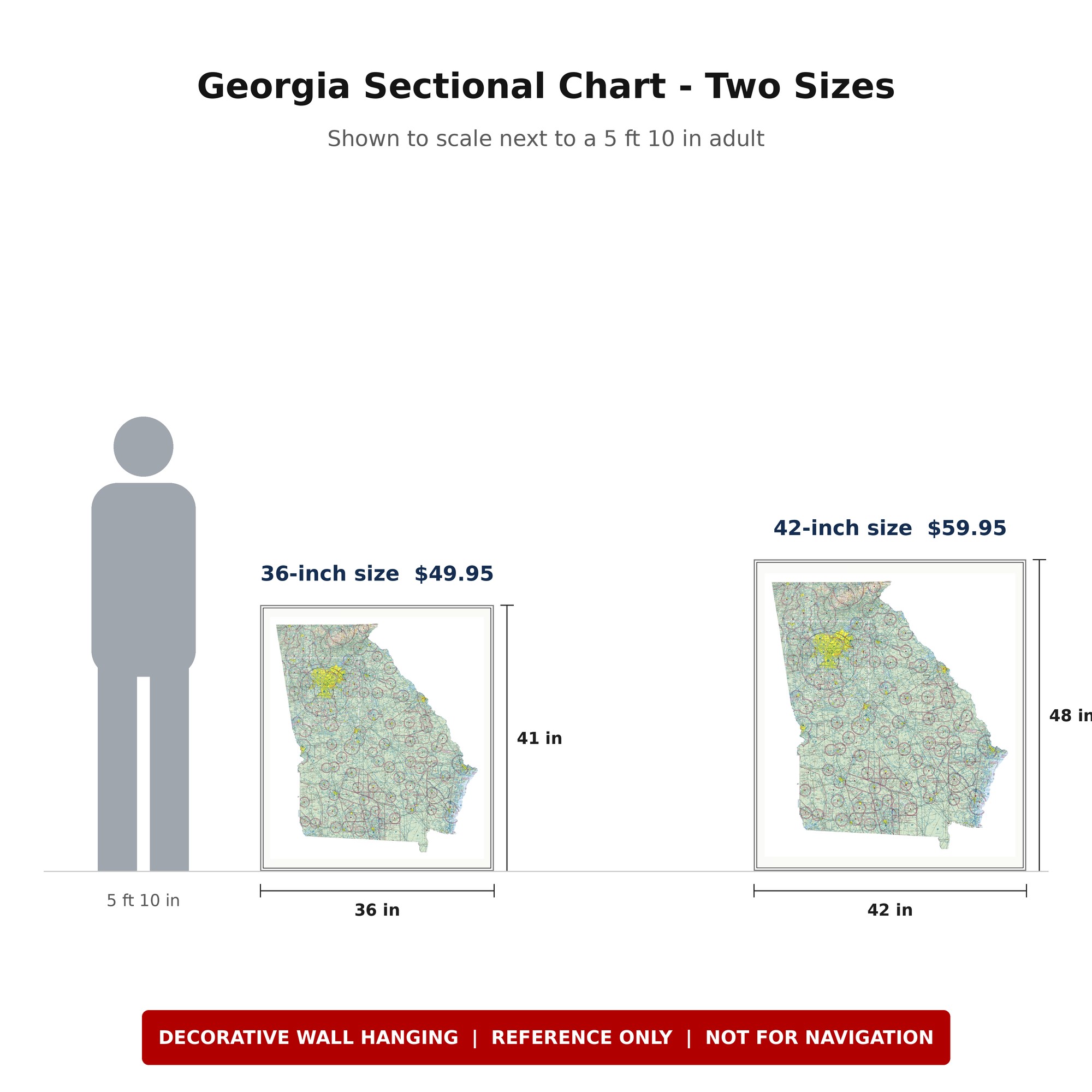
- Sizes: 36 x 41 in (36-inch short side) $49.95, or 42 x 48 in (42-inch short side) $59.95
- Source charts: FAA VFR Atlanta, Charlotte, and Jacksonville sectional charts
- Printing: Frame-quality printing on heavyweight 47 lb paper
- Shipping: Shipped rolled in a heavy-duty cardboard tube
- Framing: Sold unframed; fits a custom frame
Looking for another state? Browse all our FAA aeronautical charts, including state-shaped sectional wall maps for all 50 states.
Details
Reviews
No reviews found
