How to find the nautical chart you need using the NOAA Chart Locator
Finding the paper chart(s) you need can be easy using the NOAA Chart Locator.
The Chart Locator is an interactive map that highlights the areas covered by NOAA charts.
Click here to go to the Chart Locator.
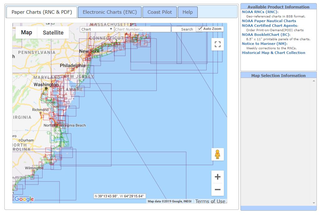
This is how it looks when you land on the chart locator page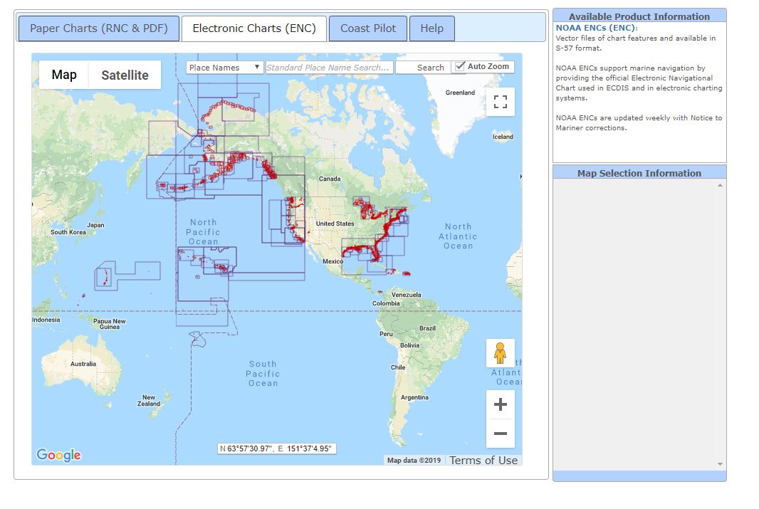
1. The first thing to do when looking for a paper chart is select the PAPER CHARTS tab.
Click the PAPER CHARTS tab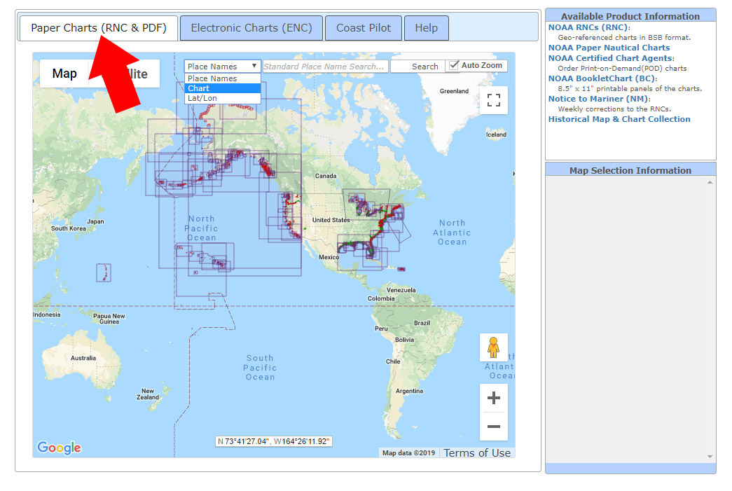
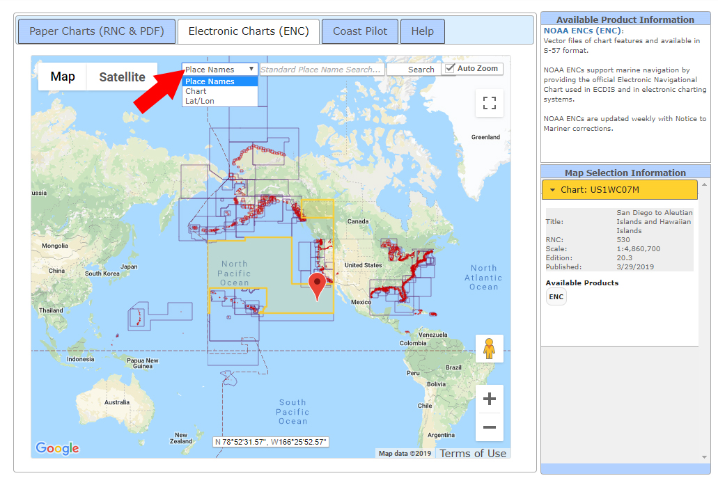
2. At this point, you have a few options to find your chart.
- Zoom into the area and find it manually
- Search by place name
- Search by chart number
At the top of the map there is a field where you can enter your search terms.
- The default is search by place names
- You may also search by chart number
Use the pulldown menu to select your search type
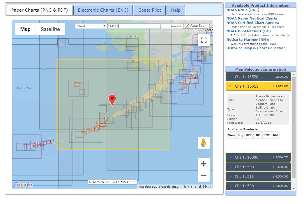
3. Chart information
When you select a chart quadrant, a menu will open on the right side of the map.
This menu will display the specific details of that chart, including:
- the chart number and edition
- the scale
- the latest revision date
The menu on the right shows all the relevant details of the selected chart
More info
Once you have found the chart you are looking for it's easy to determine the adjacent charts in the area. In some cases there is overlap of different charts
- There may be one chart covering a large area with numerous smaller charts nested within.
- In other cases there may be only one option that covers the area you need
Some areas have so many charts that it can be time consuming to determine which ones you need.
Custom Charts
Paradise Cay Publications can print custom sized charts and also expand specific areas to the size you require. Feel free to inquire about custom charts