
-
Shipping Details
 U.S. Domestic
Flat Rate Shipping
$3.50 per order (Standard)
$10.50 per order (Expedited)
 International Shipping
You pay actual shipping cost.
No additional fees.
If the cost is higher than the estimate shown at checkout we will email you for approval before we charge your card.
 Wholesale Customers
You pay actual shipping cost.
No additional fees. Actual cost is determined when your order is packed for shipment. -
Prefer to order by phone?
Order this product online or by phone
Call us now at (707) 822-9063
Mon-Friday 8am to 5pm PST

Description
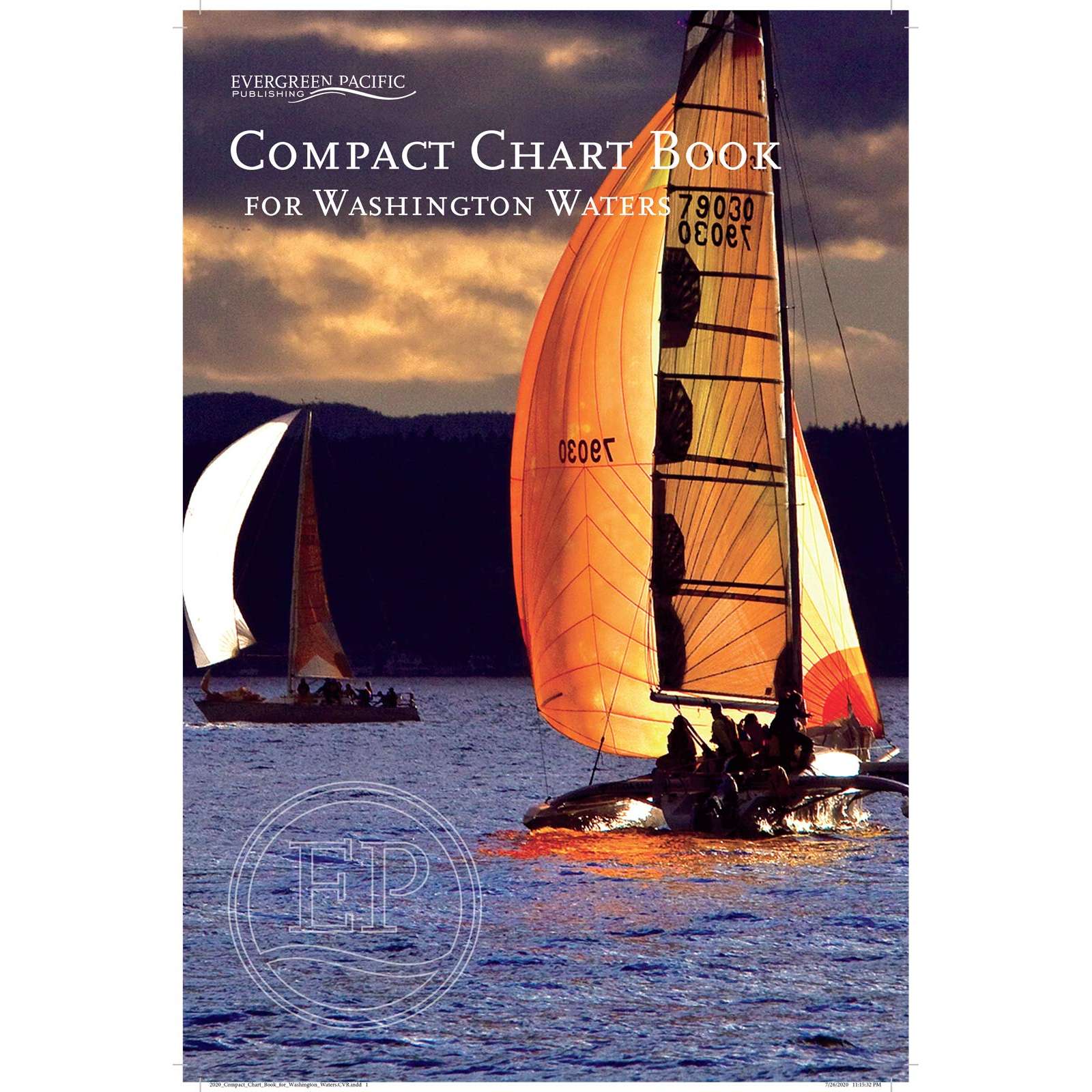
Compact Chart Book for Washington Waters, comprised of 94 pages in a saddle stitch binding. Includes 43 pages of large scale charts of harbors and bays, aids to navigation, U.S. and Canadian Customs information, Facilities index, Index of Islands, Bays, Harbors, Passages, Towns, and special sites and parks. Plus bar advisory for Columbia and Quillayute Rivers, and Williapa Bay and Grays Harbor. Covers all of Puget Sound, the San island Islands, the Strait of Juan De Fuca, and the west coast of Washington State to Columbia River.
Details
Specifications
Product Type :
Book
Book Type:
Paperback
Dimensions (IN):
15 x 10
Pages:
94 pages
Supplier/Publisher:
Evergreen Pacific
Published Date:
2020
ISBN:
9781934707593
Date Added:
Sept 2020
Format:
Paperback
Reviews
No reviews found