-
Shipping Details
 U.S. Domestic
Flat Rate Shipping
$3.50 per order (Standard)
$10.50 per order (Expedited)
 International Shipping
You pay actual shipping cost.
No additional fees.
If the cost is higher than the estimate shown at checkout we will email you for approval before we charge your card.
 Wholesale Customers
You pay actual shipping cost.
No additional fees. Actual cost is determined when your order is packed for shipment. -
Prefer to order by phone?
Order this product online or by phone
Call us now at (707) 822-9063
Mon-Friday 8am to 5pm PST

Description
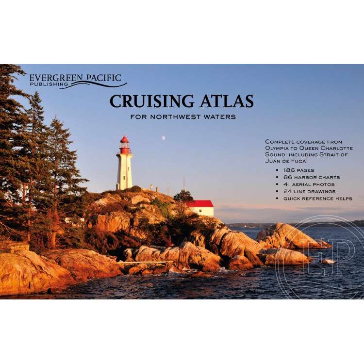
Major updates throughout as of December 2019! It's like having 8 atlases in one! This large scale, large coverage atlas contains the reproduction of government charts covering from Olympia, WA, to Queen Charlotte Sound (following the "inside passage" on the east side of Vancouver Island). It consists of 88 overview charts and 86 detailed charts of harbors, bays, coves, inlets, and passages -- including a two-page chart of Lake Washington.
Forty-one aerial photos provide additional navigational help. This atlas, since its much smaller inception in the early 1950’s, continues to be a handy reference for anyone who enjoys the waters of the Pacific Northwest.
Details
Specifications
Reviews
No reviews found