
-
Shipping Details
 U.S. Domestic
Flat Rate Shipping
$3.50 per order (Standard)
$10.50 per order (Expedited)
 International Shipping
You pay actual shipping cost.
No additional fees.
If the cost is higher than the estimate shown at checkout we will email you for approval before we charge your card.
 Wholesale Customers
You pay actual shipping cost.
No additional fees. Actual cost is determined when your order is packed for shipment. -
Prefer to order by phone?
Order this product online or by phone
Call us now at (707) 822-9063
Mon-Friday 8am to 5pm PST -
About Current & Next Editions
One-Time orders for CURRENT EDITION will be shipped immediately.
One-Time orders for NEXT EDITION will not ship until that edition becomes available.
Please Note:
CURRENT EDITION and NEXT EDITION orders must be shipped seprately.
If you combine these on one order then you may be charged for two shipments.

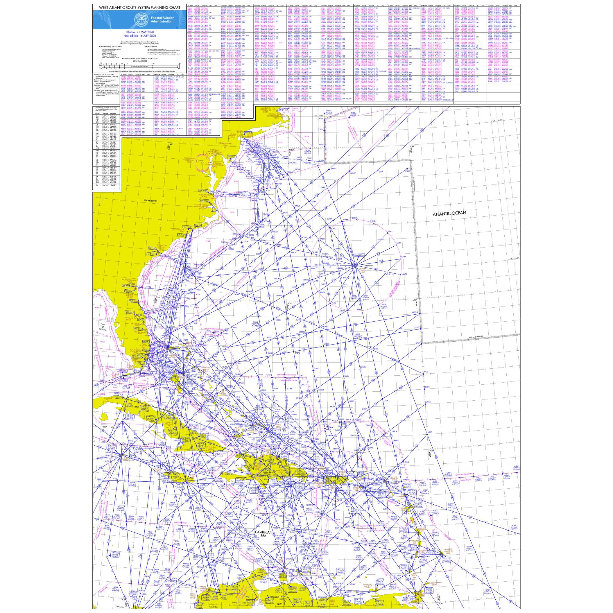
Description
This chart is also available on the reverse side of the NARC chart.
- Measures 21" x 30"
- Ships rolled
- Printed on heavy paper
Details
Specifications
Reviews
No reviews found