-
Shipping Details
U.S. Domestic
Flat Rate Shipping
$3.50 per order (Standard)
$10.50 per order (Expedited)
International Shipping
You pay actual shipping cost.
No additional fees.
If the cost is higher than the estimate shown at checkout we will email you for approval before we charge your card.
Wholesale Customers
You pay actual shipping cost.
No additional fees. Actual cost is determined when your order is packed for shipment. -
Prefer to order by phone?
Order this product online or by phone
Call us now at (707) 822-9063
Mon-Friday 8am to 5pm PST
Description
Featuring:
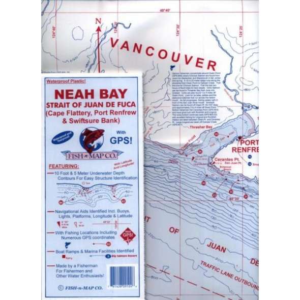
10 foot and 5 meter underwater depth contours for easy structure identification, navigational aids identified including buoys, lights, platforms, longitude and latitude, fishing locations including numerous GPS coordinates, boat ramps and marina facilities identified.
Printed on a waterproof, tear resistant plastic. 9"x4" folded, unfolds to 3'x2'.
Made by a fisherman for fishermen and other water enthusiasts!
Details
Specifications
Product Type :
Book
Book Type:
Field Identification Guide
Dimensions (IN):
9 x 4.2 Folded
Supplier/Publisher:
Fish 'n' Maps
ISBN:
761428091246
Format:
Folding Waterproof Map
Reviews
No reviews found


