-
Shipping Details
U.S. Domestic
Flat Rate Shipping
$3.50 per order (Standard)
$10.50 per order (Expedited)
International Shipping
You pay actual shipping cost.
No additional fees.
If the cost is higher than the estimate shown at checkout we will email you for approval before we charge your card.
Wholesale Customers
You pay actual shipping cost.
No additional fees. Actual cost is determined when your order is packed for shipment. -
Prefer to order by phone?
Order this product online or by phone
Call us now at (707) 822-9063
Mon-Friday 8am to 5pm PST
Description
Features:
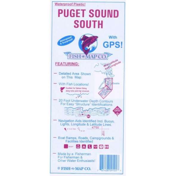
20 foot underwater depth contours
Underwater features identified including wrecks, weedbeds, artificial reefs, dredged channels
Latitude and Longitude Grids with Over 90 GPS Coordinates Identified
Numerous Fish Locations presented throughout chart
Fishing Strategies (Ideas)
Artificial Reefs Data
Boat ramps, Campgrounds and Facilities information provided
Waterproof and Tear-resistant plastic, folds to 9”x4”, unfolds to 3’x2’, 2-sided chart
Made by a Fisherman for Fishermen and Other Water Enthusiasts
MADE IN THE U.S.A.
Details
Specifications
Product Type :
Book
Book Type:
Field Identification Guide
Dimensions (IN):
9 x 4.2 Folded
Supplier/Publisher:
Fish 'n' Maps
ISBN:
761428 091017
Format:
Folding Waterproof Map
Reviews
No reviews found


