
-
Shipping Details
 U.S. Domestic
Flat Rate Shipping
$3.50 per order (Standard)
$10.50 per order (Expedited)
 International Shipping
You pay actual shipping cost.
No additional fees.
If the cost is higher than the estimate shown at checkout we will email you for approval before we charge your card.
 Wholesale Customers
You pay actual shipping cost.
No additional fees. Actual cost is determined when your order is packed for shipment. -
Prefer to order by phone?
Order this product online or by phone
Call us now at (707) 822-9063
Mon-Friday 8am to 5pm PST

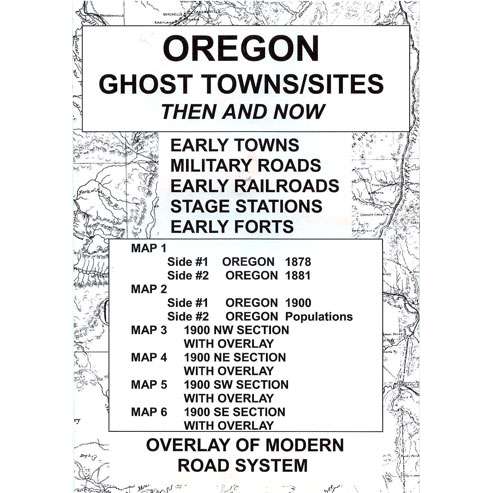
Description
The Oregon Ghost Towns/Sites package features a transparent overlay printed from a modern Oregon road system and placed over the four sections of the 1900 map of Oregon. The purpose is to show the changes in the state over a period of approximately 100 years. Place names may appear on the historical maps but may be absent on the current map. The reader should note that some of the early locations were moved from time to time while others changed their names or simply failed. The reader should be reminded that some of the early place names might have been a post office operated in a ranch house or an early stage station as well as town sites. Some locations were moved from time to time while others changed their names or simply failed.
Accompanying text with anecdotal stories from the history of each of the four sections of the state appears on the reverse sides of maps #3-6. For example, located in the NE section of the Oregon 1900, Wallowa County, Leap had established a post office in a ranch house in 1892 — apparently the name was chosen because it was a leap year. Many additional place names appear in the NE section of the state including Bake Oven, Gooseberry, Monkland and Grade. Oftentimes the post office operated for just a few short years as was the case for Clifford (1894-1901) and Flickbar (1897-1899).
While perusing and studying the maps in this collection, readers should be reminded of the limitations of early surveyors who most likely used primitive equipment and limited cartographic knowledge. All maps in the Ghost Town series are reproduced from authentic documents on file from various archival collections such as the National Archives, Library of Congress and state libraries
Details
Specifications
Reviews
No reviews found