
-
Shipping Details
 U.S. Domestic
Flat Rate Shipping
$3.50 per order (Standard)
$10.50 per order (Expedited)
 International Shipping
You pay actual shipping cost.
No additional fees.
If the cost is higher than the estimate shown at checkout we will email you for approval before we charge your card.
 Wholesale Customers
You pay actual shipping cost.
No additional fees. Actual cost is determined when your order is packed for shipment. -
Prefer to order by phone?
Order this product online or by phone
Call us now at (707) 822-9063
Mon-Friday 8am to 5pm PST

Description
-
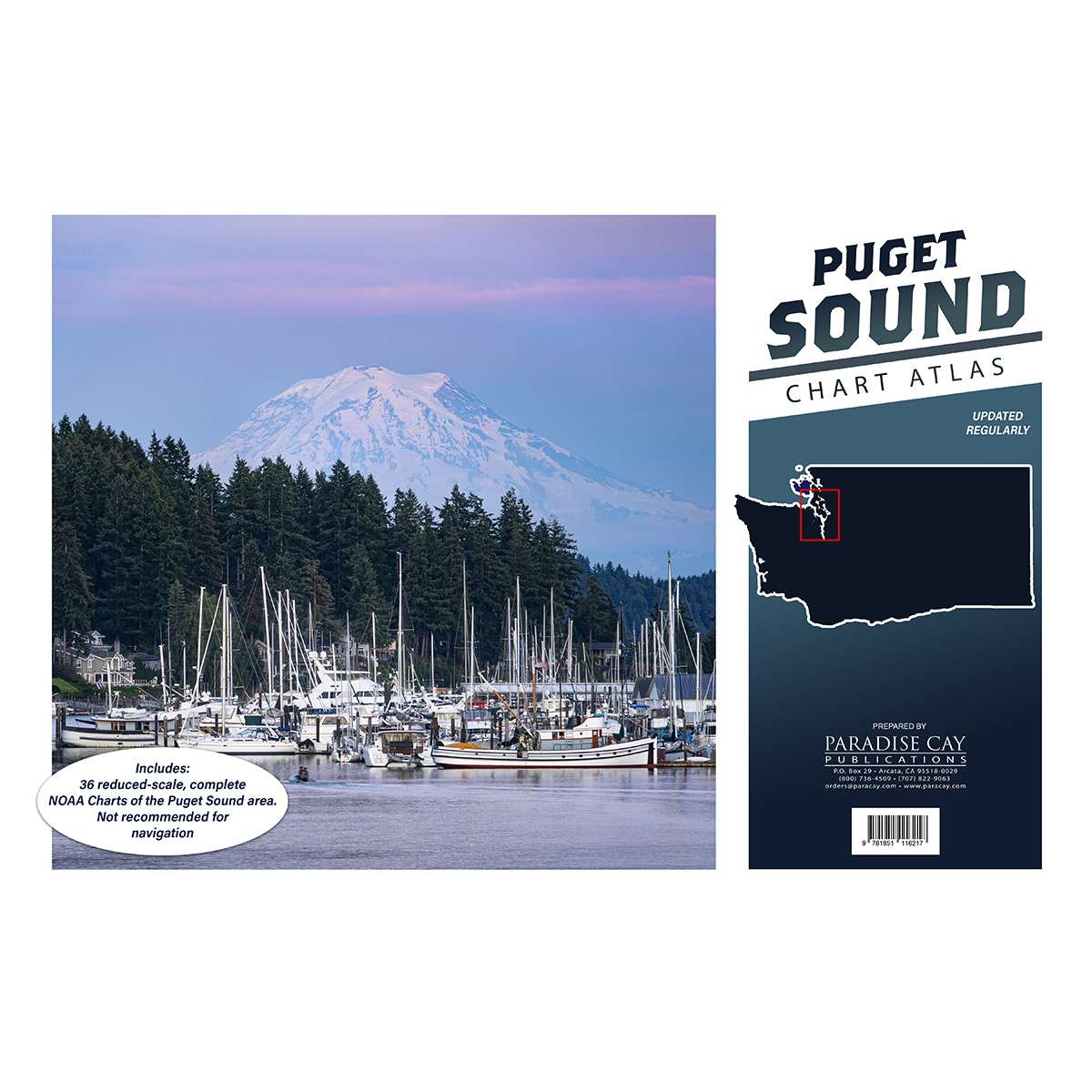
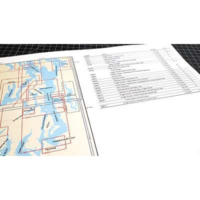
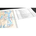
36 reduced-scale complete NOAA charts of the Puget Sound area.
-
Spiral bound in a large format (12x18") booklet.
-
Printed on high-quality paper and updated regularly.
-
Not recommended for navigation, but handy for reference and use aboard small craft.
-
Includes the following NOAA charts: 18400 18421 18424 18427 18428 18429 18430 18431 18432 18433 18434 18440 18441 18443 18444 18446 18447 18448 18449 18450 18452 18453 18456 18457 18458 18460 18464 18465 18468 18471 18473 18474 18476 18477 18480 18484 18502 18504 18521
Details
Specifications
Reviews
No reviews found