
-
Shipping Details
 U.S. Domestic
Flat Rate Shipping
$3.50 per order (Standard)
$10.50 per order (Expedited)
 International Shipping
You pay actual shipping cost.
No additional fees.
If the cost is higher than the estimate shown at checkout we will email you for approval before we charge your card.
 Wholesale Customers
You pay actual shipping cost.
No additional fees. Actual cost is determined when your order is packed for shipment. -
Prefer to order by phone?
Order this product online or by phone
Call us now at (707) 822-9063
Mon-Friday 8am to 5pm PST

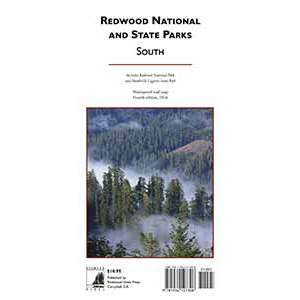
Description
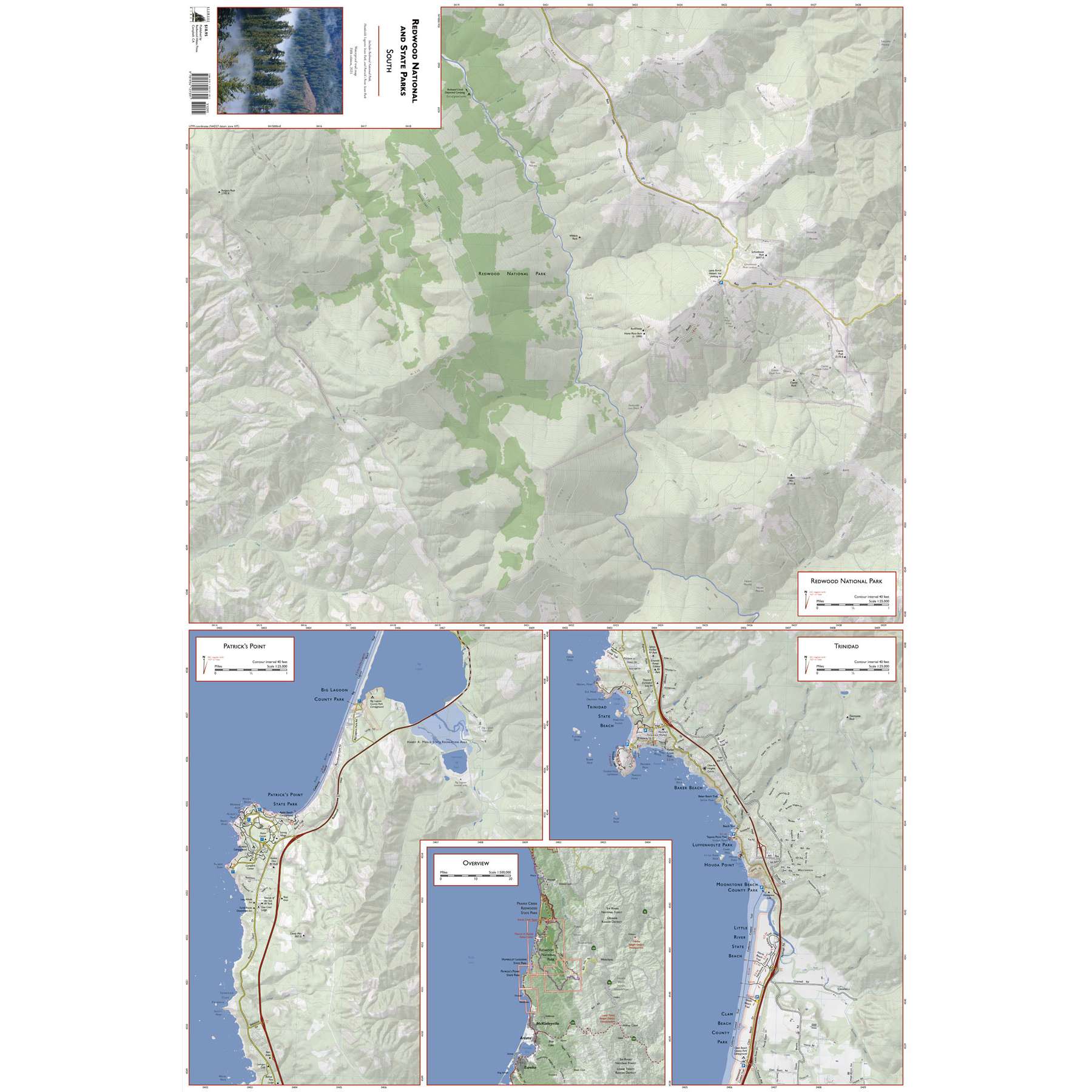
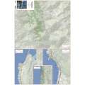
This map covers Redwood National and State Parks, including Redwood National Park. Patrick’s Point, and Trinidad are also included.
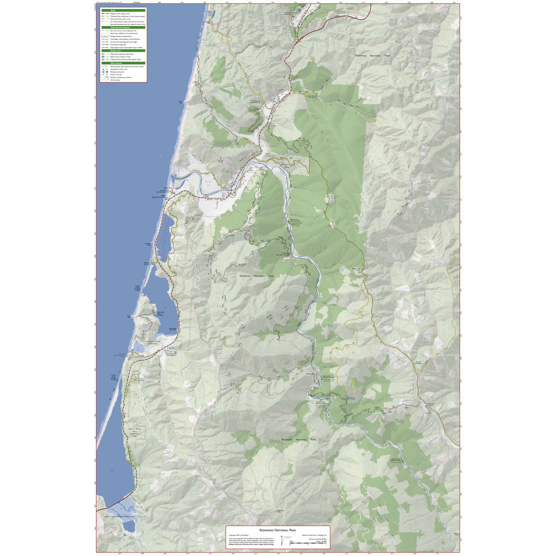
This is by far the largest-scale and most detailed map of the entire park currently available for purchase. Trail mileages are marked and the map is annotated with the locations of memorial grove markers, footbridges, panoramic viewpoints, and stairs. Since it’s possible to walk for miles without seeing a trail marker, these annotations can help you keep track of your location.
Unofficial trails, service roads, and the area’s extensive network of logging roads are also shown, greyed out to distinguish them from official hiking trails. It’s not recommended that you use these trails, but having them on the map will help you avoid avoid getting lost.
Areas of old-growth redwoods are shaded in dark green, and a UTM grid is provided to help with GPS navigation. Elevation profiles of the park’s most popular trails are included.
Details
Specifications
Reviews
No reviews found