-
Shipping Details
 U.S. Domestic
Flat Rate Shipping
$3.50 per order (Standard)
$10.50 per order (Expedited)
 International Shipping
You pay actual shipping cost.
No additional fees.
If the cost is higher than the estimate shown at checkout we will email you for approval before we charge your card.
 Wholesale Customers
You pay actual shipping cost.
No additional fees. Actual cost is determined when your order is packed for shipment. -
Prefer to order by phone?
Order this product online or by phone
Call us now at (707) 822-9063
Mon-Friday 8am to 5pm PST

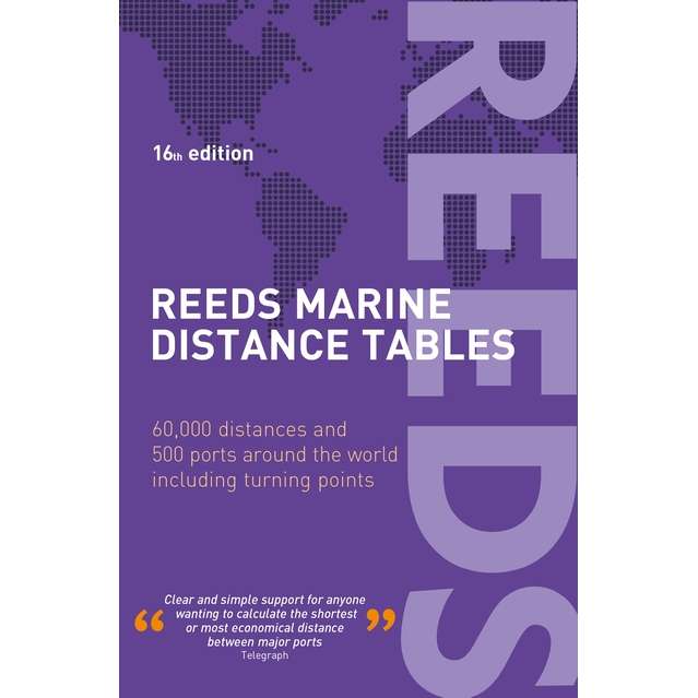
Description
Reeds Marine Distance Tables are the perfect ready-reckoner for captains, navigators, and owners of merchant and cruise ships large and small wanting a quick and accurate distance references between all the regularly used commercial ports of the world. They are also of increasing value to the superyacht fleet.
Reeds Marine Distance Tables is divided into key market areas, and includes a pull-out map for identification and easy see-at-a-glance port reference. Traffic Separation Schemes are calculated into the tables and the distance to any port not included can easily be determined by making an approximation from the next closest port. Useful tables of major turning points around the world (such as Cape Finisterre, Cape Horn, and the Dover Straits), time zones, and time and speed conversion tables are also included.
Emerging ports around the world have also been added to reflect modern trends and developments in shipping movements and route expansions.
Reeds Marine Distance Tables are an invaluable reference for ship owners, operators, brokers, navigators, and superyacht skippers. Using Reeds Distance Tables anyone can calculate the shortest or most economical distances between all the major ports in the world.
Details
Specifications
Reviews
No reviews found