
-
Shipping Details
 U.S. Domestic
Flat Rate Shipping
$3.50 per order (Standard)
$10.50 per order (Expedited)
 International Shipping
You pay actual shipping cost.
No additional fees.
If the cost is higher than the estimate shown at checkout we will email you for approval before we charge your card.
 Wholesale Customers
You pay actual shipping cost.
No additional fees. Actual cost is determined when your order is packed for shipment. -
Prefer to order by phone?
Order this product online or by phone
Call us now at (707) 822-9063
Mon-Friday 8am to 5pm PST

Description
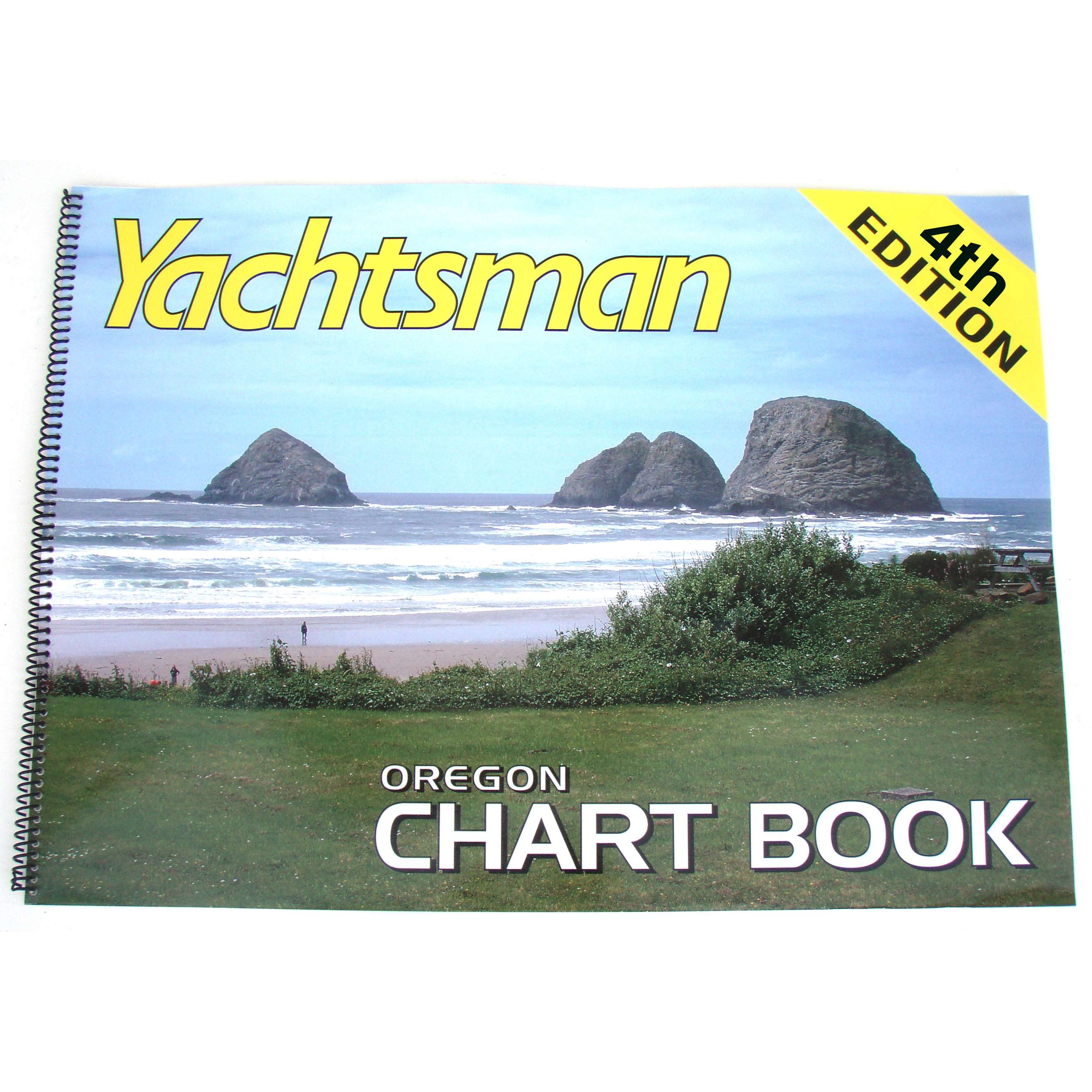
An atlas of reprinted NOAA charts enhanced with supplementary information for cruising the coast of Oregon including Columbia and Willamette Rivers to Portland. Excellent large scale coverage includes many harbor insets.
Details
Specifications
Product Type :
Book
Book Type:
Paperback
Dimensions (IN):
16.75 x 12
Pages:
37 pages
Supplier/Publisher:
Yachtsman Chart Books
Published Date:
2020
Date Added:
Sept 2020
Format:
Spiral-Bound
Reviews
No reviews found