-
Shipping Details
U.S. Domestic
Flat Rate Shipping
$3.50 per order (Standard)
$10.50 per order (Expedited)
International Shipping
You pay actual shipping cost.
No additional fees.
If the cost is higher than the estimate shown at checkout we will email you for approval before we charge your card.
Wholesale Customers
You pay actual shipping cost.
No additional fees. Actual cost is determined when your order is packed for shipment. -
Prefer to order by phone?
Order this product online or by phone
Call us now at (707) 822-9063
Mon-Friday 8am to 5pm PST
Description
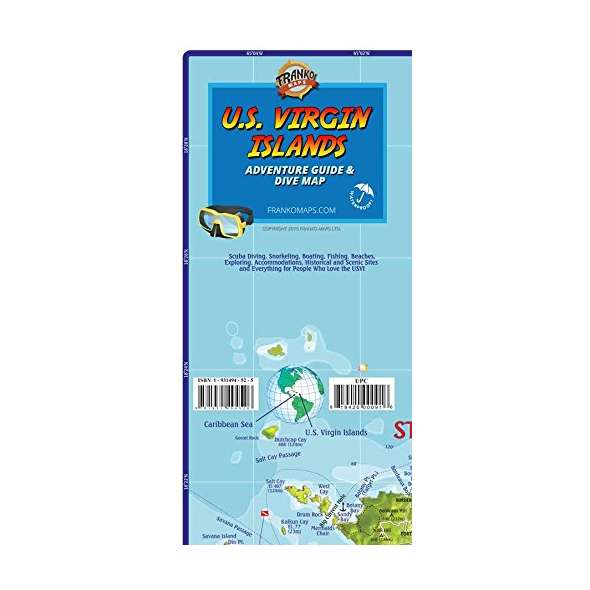
Detailed, Waterproof, Rip-Resistant Map - loaded with information for everything there is to see and do. Dive and snorkel sites are located, named, and described with detailed text. Side One covers St. Thomas and St. John, with inset maps of Charlotte Amalie, Cruz Bay, and Coral Bay. There are colorful illustrations of USVI coral reef creatures. Side Two is a map of St. Croix, with insets of Frederiksted and Christiansted, along with more fish illustrations.
This is a map and a guidebook rolled into one. Enough info to help you plan your trip and a handy reference to carry and use while on island. 18" x 27", folded to 4.5" x 9".
Details
Specifications
Product Type :
Map
Book Type:
Map
Dimensions (IN):
4.5 x 9
Supplier/Publisher:
Franko Maps
Published Date:
2016
ISBN:
9781931494526
Date Added:
December 2017
Format:
Map
Reviews
No reviews found


