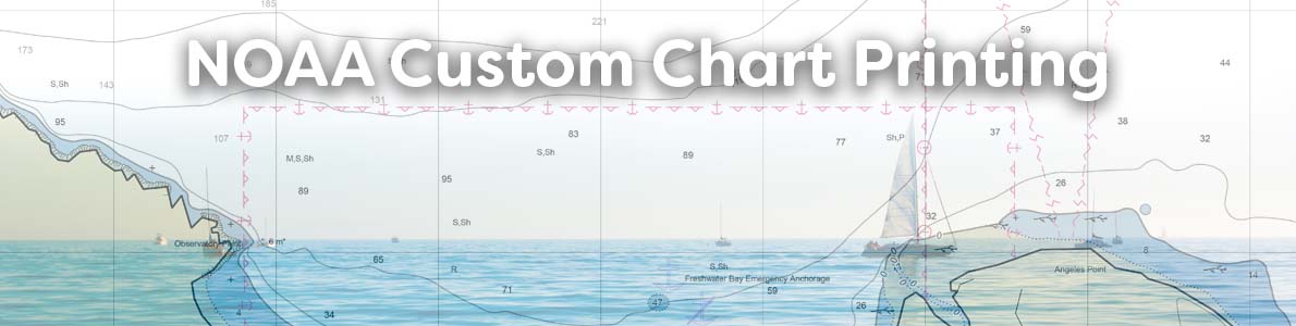
NOAA Custom Charts Printing
What is the NOAA Custom Chart application?
- NOAA Custom Chart (NCC) is an online application that enables users to create their own customized nautical charts directly from the latest official NOAA electronic navigational chart (NOAA ENC®) data.
- Depths can be displayed in meters, feet, or fathoms and there are a few other display options, such as changing the depth at which a shallow water blue tint is applied and the depiction of a "safety contour" based on a vessel's draft.
- NOAA custom charts do not have numbers and U.S. Coast Guard (USCG) Local Notice to Mariners (LNM) are not issued for NCC charts.
- NCC outputs Portable Document Format (PDF) files using the paper size, scale, and location selected by the user.

DOWNLOAD THE NCC APP USER GUIDE
How to order a NOAA Custom Printed Chart
- Visit the NOAA Custom Chart (NCC) web app ↗ and create a PDF of what you would like printed. After creating the PDF, it can be downloaded.
- Place your order on this page by selecting print options such as paper material and size.
- Upload your PDF using the upload button before placing your order
- As an option, you may provide a current NOAA chart number and we will create the NCC for you based on that area of coverage.
- Please note: Only one NCC can be ordered and uploaded at a time.
If you wish to order multiple custom charts, please make separate orders for each and we will combine shipping costs and ship your entire order together.
Have it your way – creating customized nautical charts using the latest data
Nautical charts have always contained a great amount of information – even more so with electronic navigational charts. This information is constantly being updated, necessitating the need to keep your nautical chart suite as current as possible. The Office of Coast Survey’s online NOAA Custom Chart application enables users to create nautical charts directly from the latest official NOAA electronic navigational chart (NOAA ENC®) data. Users now have the ability to create their own nautical charts using individually set parameters, and then save this custom nautical chart as a file that can be viewed or printed.
NOAA Custom Chart is a web-based application that produces a geospatially referenced portable document format (PDF) file which can augment navigation using NOAA ENCs and can also be used as a planning tool or to enhance overall situational awareness. Users are able to select a location and specify the scale and paper size of their custom chart. Display settings are available to portray depths in meters, feet, or fathoms along with changing the color of shallow water based on depth parameters specified by the user. Other display settings include turning depth label contours on or off, an option to display boundaries as plain or symbolized, and displaying or removing the compass rose.
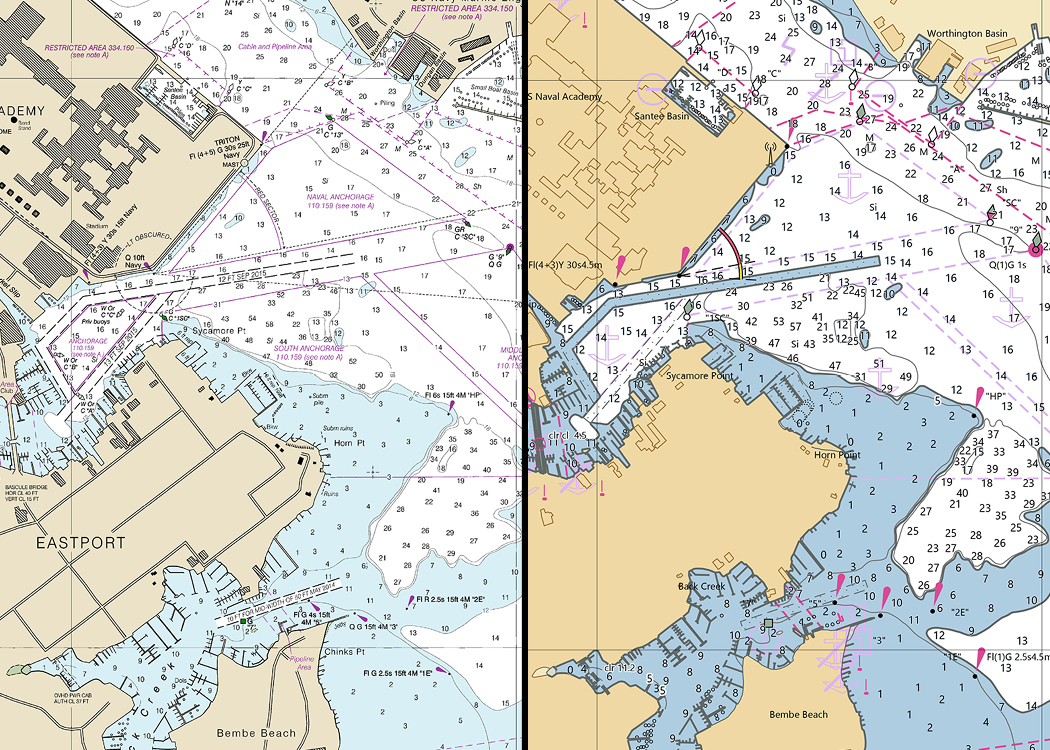
An image showing NOAA chart 12283 on the left, in comparison to the output from the NOAA Custom Chart application in the same location on the right.