The wholesale discount on this item may display incorrectly when you order.
- We will correct this when processing you order.
- The correct discount is 45% off the retail price.
- Please contact our office with any questions.
- Always printed on-demand using the current NOAA data
- Traditional and Waterproof formats meet USCG carriage requirements for commercial vessels (Small Format do not meet this requirement)
- Printed by NOAA certified chart agent Paradise Cay Publications
- Excellent Quality
This chart covers the following regions: Alaska Coast, Ikatan to Portage Bay, Bristol Bay, Amukta Island to Unimak, Pribilof Islands, Igiktin Island to Chagulak Island, East Cape to Igikton Island, Rat Islands, Eastern Bering Sea, Ikatan to Portage Bay, Bristol Bay, Amukta Island to Unimak, Pribilof Islands, Igiktin Island to Chagulak Island, East Cape to Igikton Island, Rat Islands, Eastern Bering Sea.
Specifications
NOTE: If a chart is marked as HISTORICAL, then it does not meet USCG carriage requirements for commercial vessels unless you select the NCC option.
Material Options
 Our paper charts are printed on high resolution, heavyweight, water-resistant paper, using state of the art printing technology. The paper and printing process has been certified by NOAA and deemed to be suitable to withstand the rigors of use in the marine environment. FULL SIZED PAPER CHARTS ARE CERTIFIED FOR CARRIAGE ABOARD COMMERCIAL VESSELS |
 Our waterproof charts are printed on a See a video demonstration of our waterproof material below TIP: If you plan to frame or laminate a chart using heat, then do not choose waterproof because the material can melt under heat. FULL SIZED WATERPROOF CHARTS ARE CERTIFIED FOR CARRIAGE ABOARD COMMERCIAL VESSELS |
Size Options |
|
|
|
 These are up-to-date, NOAA charts simply enlarged in size so that the small dimension of the chart is 42”, the long dimension is proportionally enlarged. These charts are printed beyond full size, therefore the scale is not the same as the full size NOAA chart, however the scale bars on the charts are proportionally enlarged in size, and can be used for reference. LARGE FORMAT CHARTS ARE NOT CERTIFIED FOR CARRIAGE ABOARD COMMERCIAL VESSELS |
Other Options |
|
|
|
 Made to help recreational boaters locate themselves on the water. It has been reduced in scale for convenience, but otherwise contains all the information of the full-scale nautical chart. The bar scales have also been reduced, and are accurate when used to measure distances in these BookletCharts. • Professionally printed and staple-bound using high quality, durable paper. • Includes Notices to Mariners • Printed on-demand with the latest data from NOAA BOOKLET CHARTS ARE NOT CERTIFIED FOR CARRIAGE ABOARD COMMERCIAL VESSELS |
 |
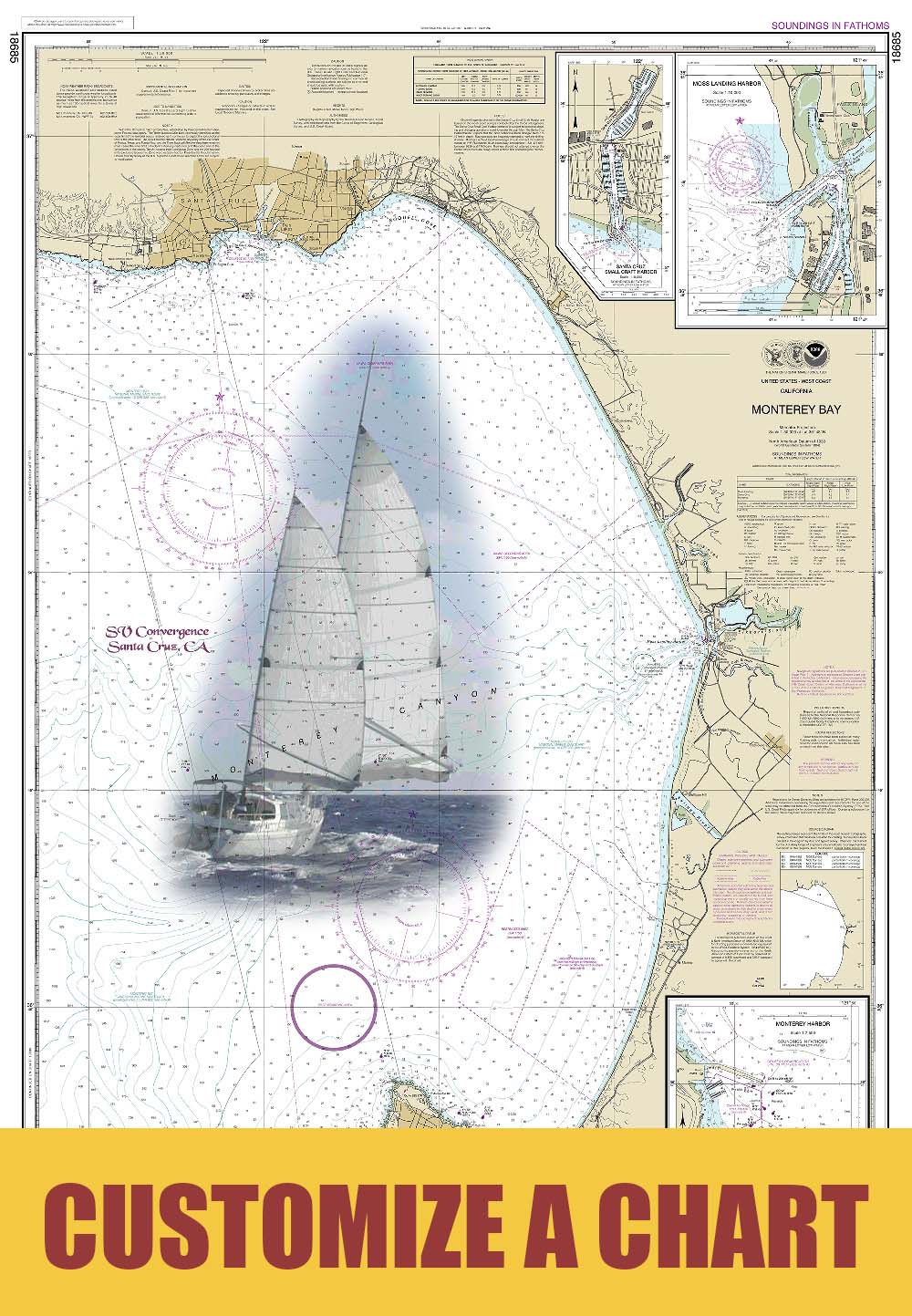
This is a unique line of decorative charts prepared by Paradise Cay Publications.
The short side of the chart is always printed at 36" and the long side will vary depending on the chart - please do not order framing prior to receiving the chart. These will memorialize your favorite coastal area in vintage style and we have added to the standard border of the typical NOAA chart to allow for a more professional, frame-ready presentation. DECORATIVE CHARTS ARE NOT CERTIFIED FOR CARRIAGE ABOARD COMMERCIAL VESSELS |


NOAA Custom Chart App is an online application that enables users to create their own customized nautical charts directly from the latest official NOAA electronic navigational chart (NOAA ENC®) data.
Paradise Cay Publications is an official NOAA Chart printer that can also print NOAA Custom Charts (NCCs) created with the NOAA Custom Chart Application.

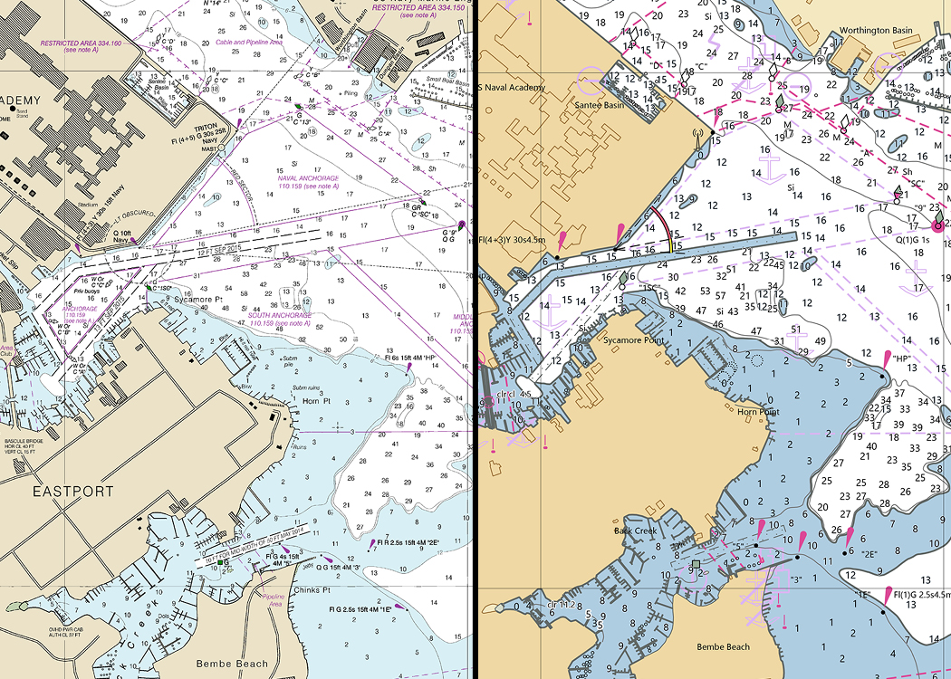
An image showing NOAA chart 12283 on the left, in comparison to the output from the NOAA Custom Chart application in the same location on the right.
SOME IMPORTANT THINGS TO KNOW
Sunsetting NOAA raster nautical charts has started. What does that mean?
Sunsetting is a term that refers to purposely and systematically phasing out a product or service.
In 2019, NOAA announced its Sunsetting of Raster Nautical Charts. The raster sunset program will gradually end production and maintenance of NOAA traditional paper nautical chart products. Beginning in 2021, NOAA will start canceling its traditional nautical charts. The process is expected to be completed by January 2025.
- NCC charts look different than traditional NOAA charts (see example above).
- The data used to create NCC's is the most up-to-date.
- NCC's do not have numbers, but can encompass the same area as traditional numbered charts and have the same scale and unit of depth measurement.
- We will recreate a chart for you by using the NCC app, or you may create the NCC yourself and upload it for us to print.
NCC's are available from us in FULL SIZED, or SMALL FORMAT and can be printed on Paper or Waterproof material
Please note: Only one NCC can be ordered and uploaded at a time.If you wish to order multiple custom charts, please make separate orders for each and we will combine shipping costs and ship your entire order together.
No posts found
Related products
 Printing")
")
")


")


Customers also bought
")
")
")